
Tracing the History of a Country House
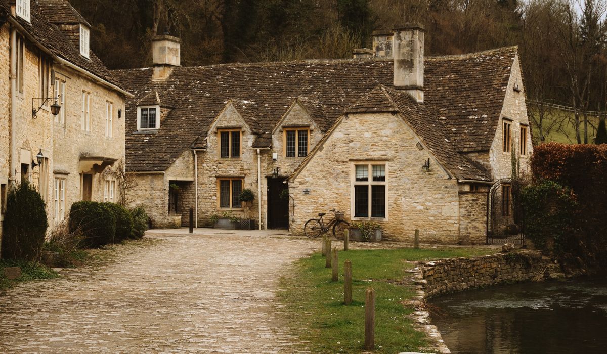
Start with the house itself — and the deeds you already have
Before you set foot in an archive, take stock of what the house can tell you. Walk the building with a notebook and look for the physical evidence: a dated rainwater head, initials and a year carved into a gate pier, a blocked doorway, a run of brickwork that changes course halfway along a wall, a roof space where the timbers are clearly older than the rooms below. These details rarely give you the full story, but they give you questions worth asking.
Then find the deeds. Owners often keep a bundle in a deed box or a solicitor's strongroom, and there may be an abstract of title — a summary of ownership compiled for a sale — which is a gift, because it lists earlier owners, dates and property descriptions in one continuous narrative. Look for conveyances, mortgages, leases, family settlements and probate copies of wills. Even a dusty bundle going back only to 1920 can name three generations of owners and pin down when a wing was added or an orchard sold off.
Tithe maps and apportionments: a snapshot of the 1840s
The Tithe Commutation Act of 1836 replaced payments in kind with a rent-charge, and in doing so produced a survey of much of England and Wales. The result is a pair of documents: a tithe map showing buildings, boundaries and numbered plots, and an apportionment listing, for each plot, the landowner, the occupier, the field name, the state of cultivation, the acreage and the charge payable.
For a country house this is gold. You can see the pleasure grounds, the kitchen garden, the paddock and the Home Farm laid out in one picture, often with field names — Kiln Close, Great Meadow, Twelve Acres — that have long since vanished from maps. Two copies were made, one for the parish and one for the diocese, and these now sit between the county record office and the national archive. Do note that tithe maps only cover titheable land in titheable parishes, so some places are missing or incomplete. Where they survive, they give you a dated baseline against which every later change can be measured.
Census returns: owners, servants and the rhythm of the household
The census returns from 1841 to 1921 are the quickest way to put flesh on the bones. From 1851 onwards you get relationship to the head of household, marital status, occupation, and parish of birth, which allows you to follow a butler from Devon or a cook from a nearby village across decades.
Read the whole page, not just your house. Count the servants: a household of twelve indoors and out in 1871 shrinking to four by 1911 tells you about agricultural depression, death duties and the Great War without a single letter being read. Note the coachman in the lodge, the gardener in the bothy, the visiting nieces. Watch for the house appearing under a different name, or being missed altogether when the enumerator was directed to the estate office instead. The 1910 Finance Act survey — often called the 1910 Domesday — is a useful companion, recording owners, occupiers and often a sketched plan of the property.
At the county record office: how to make the visit count
- Check the catalogue online first and order documents in advance; many offices issue reader's tickets and limit how many items you can see in a session.
- Take a pencil, not a pen, plus a phone or camera for photography where permitted.
- Search by parish, by the house name, by the estate name and by family surname — estate collections are usually catalogued under the family, not the property.
- Ask for manorial court rolls, estate rentals and accounts, estate maps, enclosure awards, sale particulars, wills and probate inventories.
- Treat sale particulars as treasure: they often carry a floor plan, acreage, a room-by-room description and details of stabling, glasshouses and cottages.
Estate changes and the wider landscape
Follow the estate, not just the house. Enclosure awards and maps from the mid-eighteenth to the mid-nineteenth century show commons and open fields being reorganised, often to the benefit of the lord of the manor. Land tax assessments, kept annually from the 1690s to 1832, list owners and occupiers and can bridge gaps between deeds. Eighteenth-century estate maps reveal the park, avenues and lodges — and sometimes show that the park is older than the house standing in it.
The Victorian large-scale county maps let you watch the boundaries shift, new drives appear, conservatories and service wings sprout, and a railway line slice through the home park. The county historic environment record and the statutory listing description will add architectural detail and a date, though both should be treated as a starting point rather than a verdict.
Bringing the story together
Keep a simple timeline on one sheet and note the source beside every entry. Where records disagree — a date stone against a deed, a census against a directory — record the conflict rather than resolving it too neatly; the contradiction is often the most interesting part. Gaps are normal, and a house that has been sold, mortgaged, let and altered for three centuries will never yield a tidy narrative. What you get instead is something better: a sense of the people who warmed the same rooms, argued over the same boundaries and planted trees they never saw mature.

4 Comments